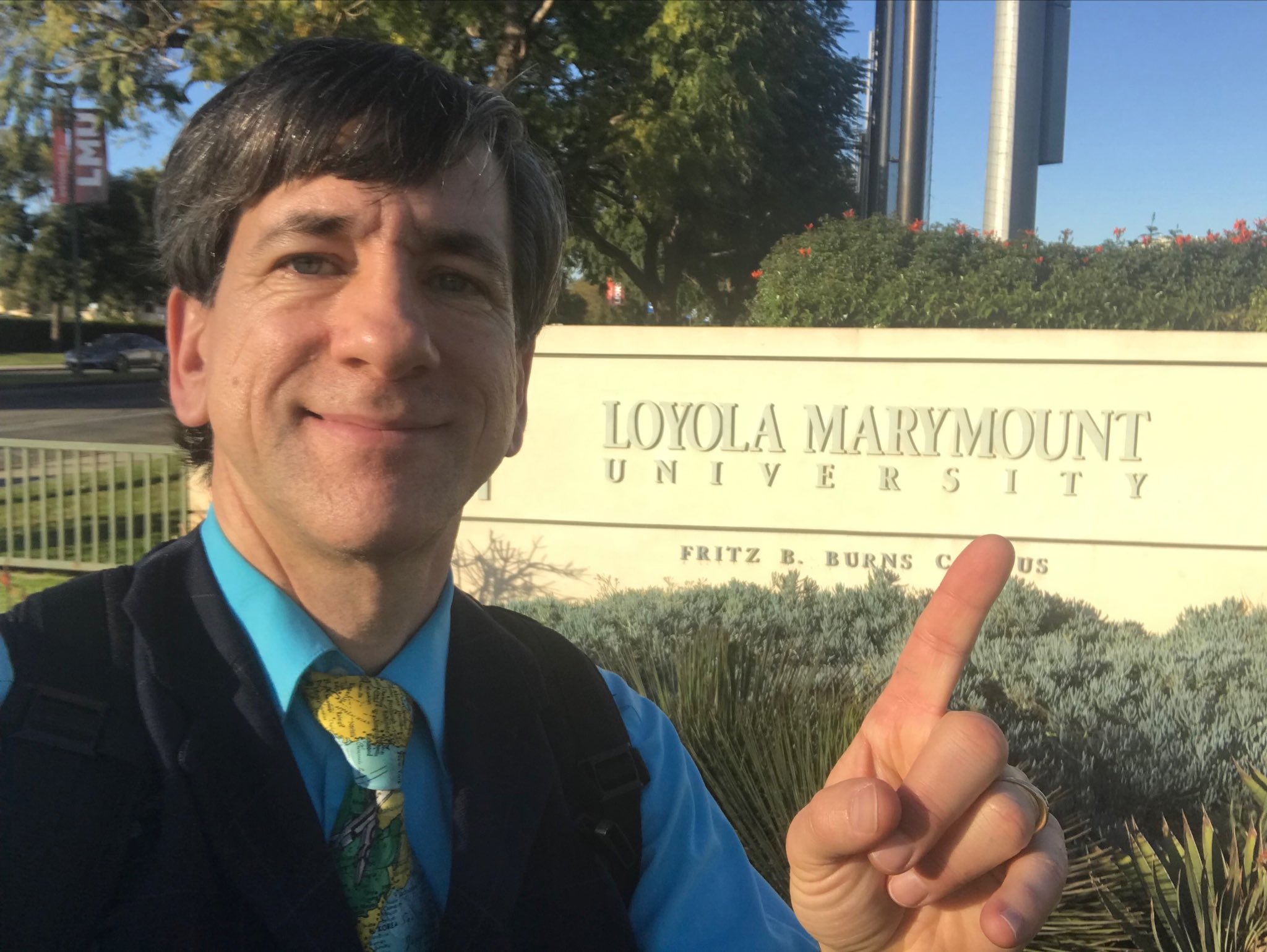
LMU GIS Educational Event
Joseph Kerski at LMU
On Thursday, January 24, 2019, LMU hosted educator and geographer Joseph Kerski for a series of presentations, panels, and conversations about the use of Geographic Information Systems in education and academia. Kerski – who has a Ph.D in geography and has worked in academia, government, the private sector, and for non-profits – conducted the event with the energy of a curious child and the demeanor of a great teacher. His extensive knowledge of GIS, geography, cartography, pedagogy, and data collection and analysis provided a wealth of information and ideas to the professors, researchers, grant writers, and instructional technologists in attendance.
Agenda
- Presentation 1: Why "Spatial" is Special - Geotechnologies in Education and Society (Joseph Kerski, ESRI)
- Presentation 2: Collect, Map, and Analyze Field Data with Survey123 and web GIS Tools (Joseph Kerski, ESRI). PDF: Using Survey123 ArcGIS for Instruction and Research
- Presentation 3: Map and analyze your data with ArcGIS online and story maps (Joseph Kerski, ESRI) PDF: Telling Your Story with Maps
- LMU Faculty Presentations
